Quick Sift
Choose i110N for a smaller open-sky lawn where RTK antenna placement is straightforward, or i215 LiDAR for a larger yard with tree and building interference where one-click antenna-free mapping is worth the newer platform.
Options for different needs
These are different-fit reference options, not a ranking. BestSift earns a commission from qualifying purchases through these links. Our selections are research-based, not hands-on test results.
Segway Navimow i110N
0.25 acre · RTK plus vision
Segway Navimow i215 LiDAR
0.37 acre · LiDAR plus vision
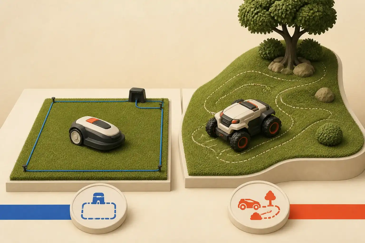
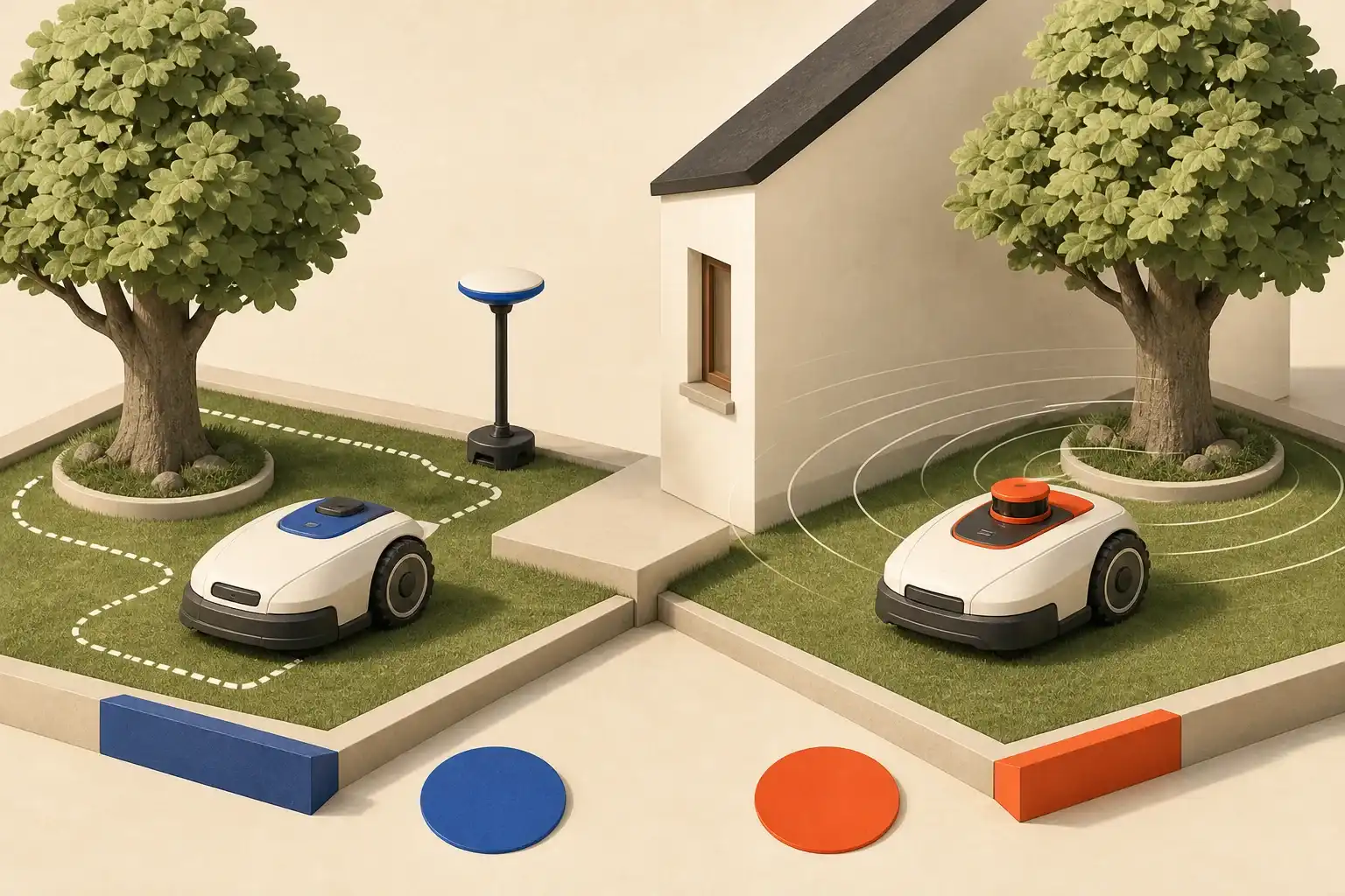
Segway Navimow i110N and i215 LiDAR are wire-free robot lawn mowers aimed at modest residential yards. The i110N belongs to the earlier i Series and combines RTK satellite positioning with VisionFence obstacle sensing. The i215 LiDAR uses solid-state LiDAR plus vision, automatically maps without a perimeter wire or local satellite antenna, and is specified for a larger recommended area.
BestSift has not hands-on tested either mower. Outdoor navigation depends on the exact property: sky view, trees, walls, narrow passages, slopes, curbs, drainage, grass type, and objects that move between runs. Manufacturer area and slope claims come from controlled conditions; preserve margin rather than designing to the maximum.
Navigation is the main difference
| Decision point | Navimow i110N | Navimow i215 LiDAR |
|---|---|---|
| Recommended lawn class | About 0.25 acre | About 0.37 acre |
| Positioning | EFLS RTK-GNSS plus vision | Solid-state LiDAR plus vision |
| Boundary hardware | No wire; local GNSS antenna required | No wire and no local antenna |
| Maximum slope claim | Earlier i Series moderate-slope class | 45% / 24° under stated conditions |
| Mapping | App-guided virtual boundary | One-click auto mapping with visual editing |
| Strongest fit | Open sky and predictable small lawn | Tree/building interference and more complex map |
The i110N is not inferior merely because it uses an antenna. RTK can provide precise positioning when the mower and reference antenna receive good satellite signals. A stable antenna installation can be highly repeatable. The i215 is not automatically better everywhere; its LiDAR must see useful geometry and its larger off-road wheels need adequate passage clearance.
Survey the lawn before buying
Measure the actual mowable grass, excluding buildings, beds, water, gravel, steep banks, and areas that cannot be connected safely. Online parcel area is not lawn area. Record the narrowest corridor and gate, curb height, exposed roots, holes, soft ground, and slope in both directions.
Inspect the sky. Tall buildings, dense canopy, walls, and metal structures can block or reflect satellite signals. If an antenna cannot be mounted in an approved location with the required sky view and cable route, i110N may be the wrong architecture. LiDAR can work under trees, but repeated featureless boundaries, dense vegetation, dust, rain, darkness, and changed scenes can still affect perception.
Locate power. The charging station needs a level area, weather-rated supply arrangement, safe cable route, drainage, and reliable approach. Do not run an indoor extension cord across a lawn. Follow electrical and surge-protection guidance in the manual and local code.
Navimow i110N: RTK for open-sky yards
i110N fits a compact lawn where the reference antenna can be installed correctly and the mower maintains a usable satellite view. Its virtual boundary avoids trenching a perimeter wire, while VisionFence uses a camera to recognize objects. App mapping supports zones, schedules, no-go areas, and route controls.
The antenna location is part of the system. Do not hide it under an eave or tree merely for appearance. Use the mounting hardware and cable limits, keep it stable, and remap if the station or antenna moves. Confirm signal at the lawn’s worst points, not only beside the dock.
Choose i110N when the lawn is comfortably within its capacity, passages fit the chassis, slopes are moderate, and open sky makes RTK predictable. It can be the simpler choice when automatic mapping is unnecessary and the owner is willing to walk and refine a digital boundary.
Skip it when tree canopy or structures create persistent positioning gaps, there is no safe antenna mount, or the property is close to the area maximum with complex zones. A larger rating is not just about total grass; travel between zones and repeated obstacle avoidance consume time.
Navimow i215 LiDAR: antenna-free mapping
i215 LiDAR is specified for up to 0.37 acre recommended coverage, with possible map headroom dependent on layout. Navimow combines LiDAR and vision, one-click automatic mapping, GeoSketch real-scene editing, off-road wheels, electronic stability control, and a 45% slope claim under dry, unobstructed test conditions.
This design suits a yard where satellite reception is unreliable or installing an antenna is undesirable. Automatic mapping can reduce setup work, but review every generated boundary. The mower cannot know that a shallow pond edge, drop, public sidewalk, driveway, or seasonal bed requires extra setback unless the map and physical conditions communicate it.
Measure narrow routes against Navimow’s published 25.0-by-17.5-by-11.3-inch i215 dimensions and clearance guidance. Off-road tires improve traction, not geometric fit. A 45% test claim does not guarantee control on wet grass, loose soil, lateral slopes, holes, or a drop at the bottom. Keep generous separation from water, retaining walls, roads, and stairs.
Choose i215 when antenna-free navigation solves actual tree or building interference and the larger lawn rating provides margin. Do not choose it solely for automated setup; a simple open lawn may work well with i110N’s RTK system.
Cutting height and grass condition
Confirm the cutting-height range matches the turf species and seasonal plan. Never lower tall grass directly to the final robot setting. Mow conventionally first, remove debris, then reduce height gradually within agronomic guidance. Robot mowers maintain frequent small cuts; they are not brush cutters for overgrown weeds.
Wet or stressed turf changes traction and cut quality. Use weather controls and suspend mowing during saturation, frost, extreme heat, treatment applications, or irrigation. Clear branches, stones, wire, hoses, toys, and fruit. Small blades can throw or damage hard debris even with obstacle sensing.
Expect manual trimming along walls, fences, raised curbs, trees, and complex bed edges. “Edge mowing” works best where the mower can safely ride over a flush boundary. Never map wheels close to an unsupported drop to reduce trimming.
Safety around people, pets, and wildlife
Treat both as autonomous cutting machines. Schedule only when the lawn is unoccupied. Keep children, pets, and bystanders inside or in a physically separated area. Obstacle recognition is an additional layer, not the primary safety system. Small animals, low objects, dark materials, thin wire, and unexpected movement may not be recognized in time.
Stop and disable the mower before lifting, cleaning, blade inspection, or transport. Wear gloves and replace blades and fasteners as a set using the official procedure. Never defeat lift, tilt, PIN, alarm, or geofence protections.
Camera-based VisionFence also creates privacy considerations. Aim boundaries away from neighboring private areas where practical, review app permissions and account sharing, use a unique password, and understand video or image processing disclosures.
Mapping and commissioning
Prepare the yard first. Mark hazards, repair holes, define wide setbacks at roads and water, and make temporary objects permanent or remove them. Install the dock and, for i110N, antenna exactly as directed. Update through the official app and complete mapping in good conditions.
Supervise the first complete runs. Watch every boundary, corridor, slope, dock approach, island, and no-go zone. Adjust the map rather than assuming repetition will fix a bad route. Repeat checks after landscaping, construction, storm damage, or major seasonal growth.
If isolated lawn sections require carrying the mower or crossing pavement, confirm how the official isolated-zone feature works and whether the robot can return to charge. Total area across zones still counts against system capacity.
Maintenance and subscription checks
Brush dry grass from the deck, wheels, sensors, camera, and charging contacts as directed. Do not use high-pressure water. Inspect blades and screws frequently, especially after contact with debris. Replace damaged parts immediately and keep firmware current.
Confirm which connectivity service is included and what renewal costs or functional limits apply after the included period. Locate blades, garage, wheels, charging components, antenna parts for i110N, and local service. Plan dry, safe winter storage and battery maintenance according to the manual.
Final checklist
- Measure only mowable grass and keep area margin for complex zones.
- Record sky obstruction, slopes, passages, curbs, drops, roots, and wet spots.
- Confirm a safe weather-rated charging power route.
- For i110N, prove antenna and mower satellite view across the yard.
- For i215, inspect and correct the automatic boundary.
- Create generous no-go areas around water, roads, play zones, and drops.
- Schedule mowing only when people and animals are absent.
- Budget blades, connectivity, seasonal storage, and manual edge trimming.
i110N is the rational fit for a smaller open-sky lawn with a good antenna location. i215 LiDAR earns its place where automatic antenna-free mapping and stronger terrain hardware solve a measured constraint. Neither removes the owner’s duty to create a conservative map and supervise safety.
Research shortlist
Products to consider
As an Amazon Associate I earn from qualifying purchases.These are research-based examples—not hands-on test results, promises of availability, or absolute rankings.
Segway Navimow i110N
A compact wire-free mower for smaller lawns with adequate satellite view, a local antenna location, and moderate slopes.
Navimow i Series official specifications
Segway Navimow i215 LiDAR
An antenna-free option for yards with tree or building interference where automatic LiDAR mapping and off-road wheels solve real layout constraints.
Navimow i215 LiDAR official specifications
Sources reviewed
BestSift favors standards bodies, public agencies, official manuals, and primary manufacturer documentation. Accessed August 13, 2026.